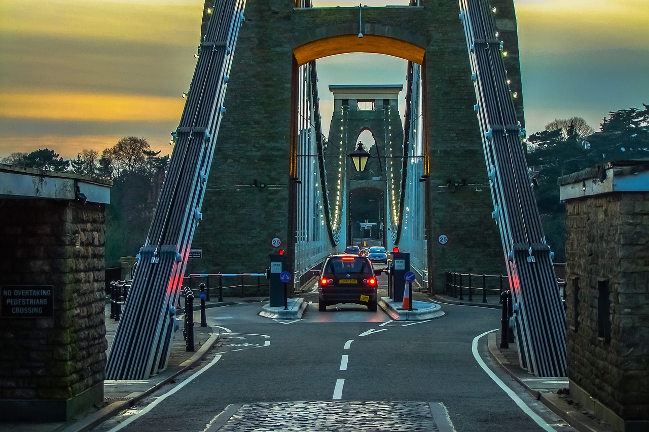
Any regular user of the roads winding through Avon Gorge will know just how vital these routes are. Not just for commuters and day-trippers but for anyone who calls Bristol home. From my own experience, the stretch beneath the soaring Clifton Suspension Bridge is one of those iconic journeys you never quite take for granted. That’s why the news of major works, kicking off as of 23 June 2025, has raised a fair bit of concern in the local community, both for everyday travel and for the rhythm of city life.
What’s Driving the Road Closures?
The primary reason for these disruptions boils down to urgent infrastructure repair and essential safety upgrades being overdue. When I spoke with a transport engineering colleague who frequently consults for Bristol City Council, the story was clear: there’s been rising evidence of deterioration along key road sections after years of heavy use and exposure to the elements. Council engineers identified several weak points in road surfaces and retaining walls that have started to show pronounced cracking, especially following the wet winter earlier this year.
Works like these might not make headlines every day, but trust me, leaving them any longer risks more than just bumpy rides. It could eventually lead to partial collapses or hazardous conditions, especially beneath the overhanging cliffs where rockfalls aren’t unheard of.
Which Roads Are Closed, and When?
Here’s the nitty-gritty. From 23 June, key stretches of the A4 Portway. A critical link from the city centre towards Leigh Woods. Are under full or partial closure. This especially affects the riverside carriageway from Bridge Valley Road to the Cumberland Basin. For anyone who’s been caught in tailbacks here before, it’ll come as no surprise that the council scheduled works from 7 am to 7 pm, aiming to seize daylight hours for safety.
Some days will alternate between single-lane access and total shutdowns on certain sections, depending on how far the engineering teams get with excavation and resurfacing. During weekends, there may be some changes to working hours; anyone planning family trips or Sunday training rides should double-check the latest council bulletins.
How Long Will This All Last?
Official timelines peg the project for an estimated 10 weeks, rolling through until the end of August. As of mid-July, initial progress reports have stuck closely to schedule, though anyone with a memory for Bristol’s “best laid plans” knows to add a pinch of caution. Especially if summer storms crop up.
The council’s civils team provided an outline stating that, to minimise disruption, critical operations are front-loaded in the earliest weeks. If you’re someone who depends on regular Portway crossings, your best bet is to check for nightly or weekday variations, since adjustments may be made based on project milestones and weather events.
Council Advice: Alternatives and Smart Travel Moves
Face it. No one enjoys a detour unless it leads to a hidden gem. The council’s recommendations are practical, albeit a little grim for those already squeezed for time. Diversion signs are in place from Hotwells Road up towards the Clifton area and through the Zig Zag Road for traffic heading towards Leigh Woods. If you ask me, avoiding peak rush. Especially between 8 and 9:30 am, plus the notorious 4:30 to 6:30 pm grind. Makes a world of difference.
For those fancying park and ride solutions, the Portway Park & Ride facility remains open with slightly adjusted operating hours. There’s also increased signage for city centre car parks, though everyone I know is bracing for those to fill up fast, especially on Saturday shopping days and during events at Ashton Gate.
Impact on Public Transport, Cyclists, and Emergency Services
Bus users aren’t spared. Several services, notably the X4, X5, and Portway Park & Ride routes, are set for rerouting and extended journey times. If you rely on these, it’s worth tapping into official travel apps for real-time tracking. Waiting at a windswept stop isn’t fun even at the best of times.
Cyclists are being asked to reroute via alternative paths where possible, mainly along River Path and up Clifton Down, with temporary barriers providing extra space in pinch points. As someone who’s squeezed along Portway’s narrowest sections, that’s a very welcome precaution.
Crucially, emergency vehicle access isn’t compromised. Dedicated lanes and rapid turnaround for blue-light services have been baked into traffic management plans. Lessons learned after past hiccups, when response times briefly spiked.
Staying Updated and Planning Ahead
No one likes surprises when it comes to travel disruption, especially the morning after a late-night fixture or a busy workday. The council’s travel portal and local radio advisories are being continually updated, usually by 6 am each day. For more granular updates, mobile journey planning tools are now flagged on the council site, along with push notification services for those who can’t afford to miss a single change.
It’s important to stress that while the inconvenience is real, the upgrades are absolutely necessary. I’ve seen similar projects elsewhere in the region repair not just the tarmac, but confidence in the infrastructure. If you can spare a little patience and plan just that bit further ahead over the next couple of months, we’ll all benefit from smoother, safer routes through some of Bristol’s most spectacular surroundings.
If you’ve got any must-share travel tips or even grumbles from the road, joining the local council travel consultation isn’t just about venting. It’s about shaping Bristol’s journey for everyone who relies on our city’s arteries.
Frequently Asked Questions
Which bus services are affected by the Avon Gorge road closures?
Expect route and schedule adjustments for services including the X4, X5, and Portway Park & Ride. There will be rerouting, some temporary stops, and anticipated delays, especially at peak times. Real-time tracking via your transport provider’s apps is advisable.
Are cycle routes still available during the works?
Yes, though many standard routes along the Portway are redirected. Cyclists should follow marked detours via the River Path or the Clifton Down alternative. Temporary barriers protect riders at narrower pinch points.
Will emergency vehicles have access throughout the project?
Absolutely. Emergency access is maintained at all times with priority lanes and traffic interventions part of the project contract. This was a non-negotiable for project approval.
How can I get live updates on road closures and diversions?
Daily updates are provided on the Bristol City Council’s travel portal and local radio stations. Travel planning apps also offer push notifications, which can be particularly useful for commuters who need up-to-the-minute information.
Can I park near the Gorge or Clifton Suspension Bridge during the closures?
Parking is limited and expected to be in high demand. Portway Park & Ride remains operational with changes to hours clearly posted, and city centre car parks are signposted as alternatives. Aim to plan extra time to locate a space, especially during weekends and local events.